
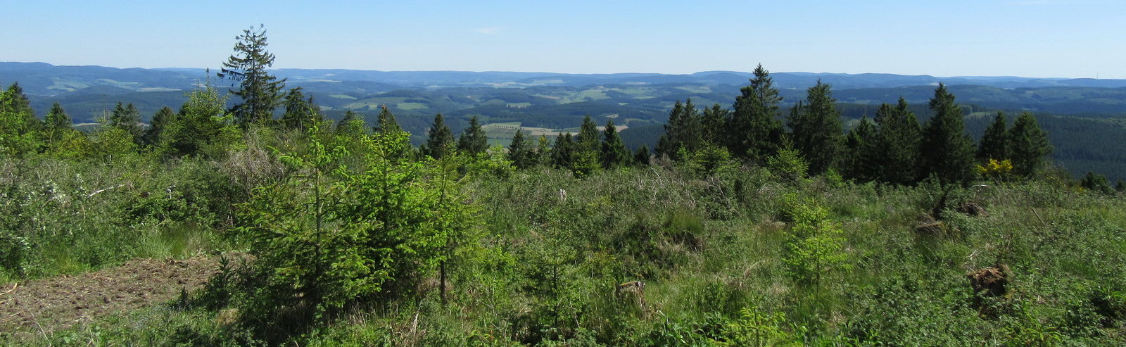

Durch das Hespel am Sportplatz vorbei über den Musenberg zum Bahnhof, um den Ödenberg ins Alte Feld, am Krausen Baum vorbei nach Allendorf.
Wanderstrecke: 8 km
Map of the route “Rundwanderweg Ödenberg (AL3)”: 8.084 m, 210 m of climbing and 210 m of descent, elevation between 305 m and 465 m, time 00:09:53. It is a loop that starts and ends at 51.28397, 7.95191 (latitude, longitude).